How it works
The world's weather, every 15 minutes
FSGRW gathers live weather reports from around the world and turns them into one complete picture of the atmosphere, from the ground to the flight levels. Your simulator flies through it.
- 1
Observe
Thousands of airports and weather stations around the world report what they see, day and night.
- 2
Combine
Observations always come first. Between them, a global weather model completes the picture up to the tropopause.
- 3
Fly
Your simulator gets the weather around your aircraft, updated every 15 minutes and blended in smoothly.
A full report, everywhere
Over land, over the oceans and at every airport, each place has the same complete weather report:
- Surface: wind, visibility, temperature, pressure
- Clouds: layers with base, top and type, including thunderstorms
- Precipitation: rain, snow and freezing rain
- Upper air: winds aloft, turbulence and icing
Where an airport reports its weather, that is the weather you get, and its surroundings match it.
Turbulence and icing
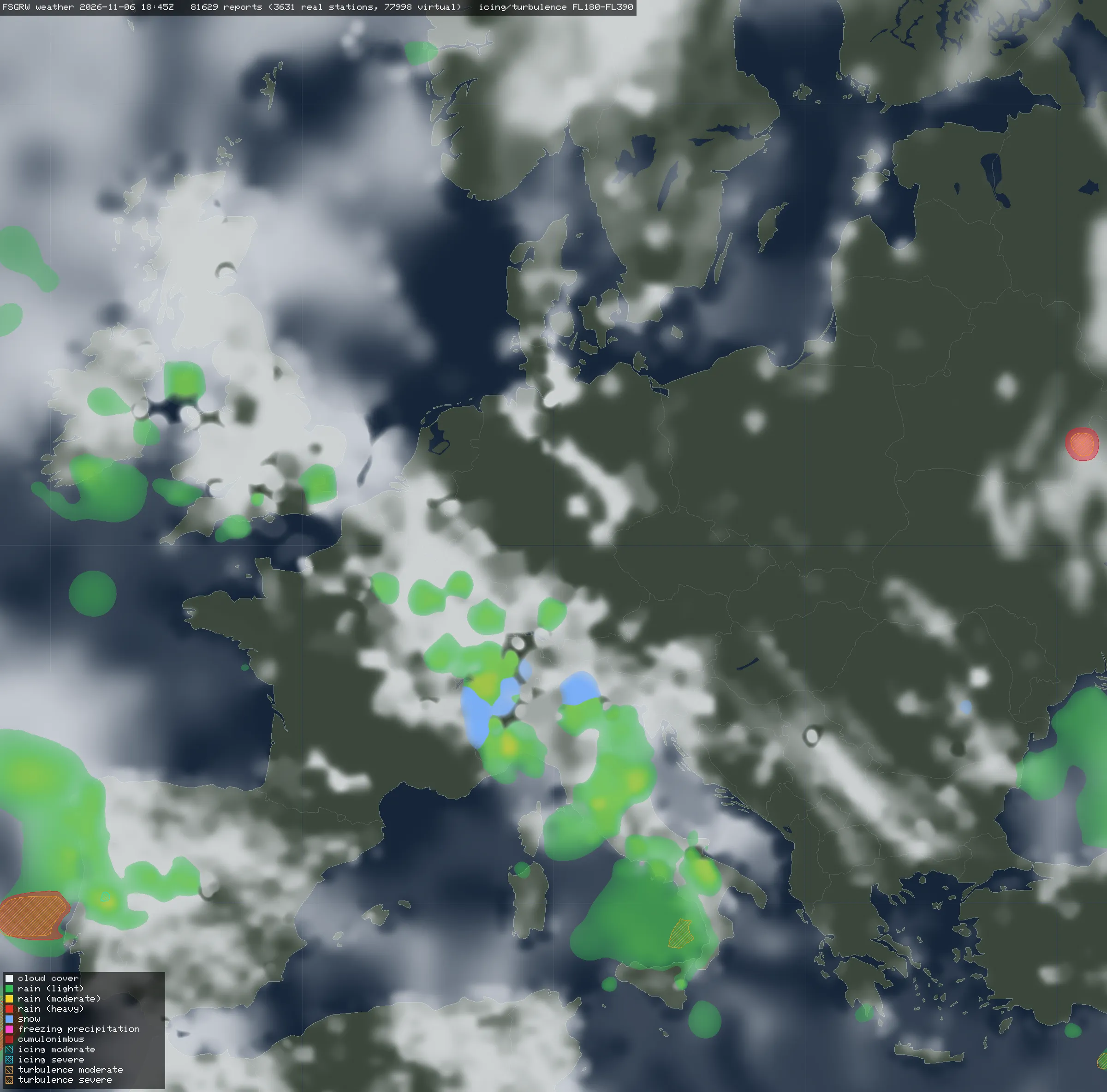
Turbulence and icing are part of every report, at the altitude where they occur. The map shows them over Europe between FL180 and FL390, together with clouds and precipitation.
One weather, every simulator
The weather is made once, independent of any simulator. Each FSGRW product brings it into its simulator's own weather engine.