Real-world weather for flight simulators
The whole world's weather.
Every 15 minutes.
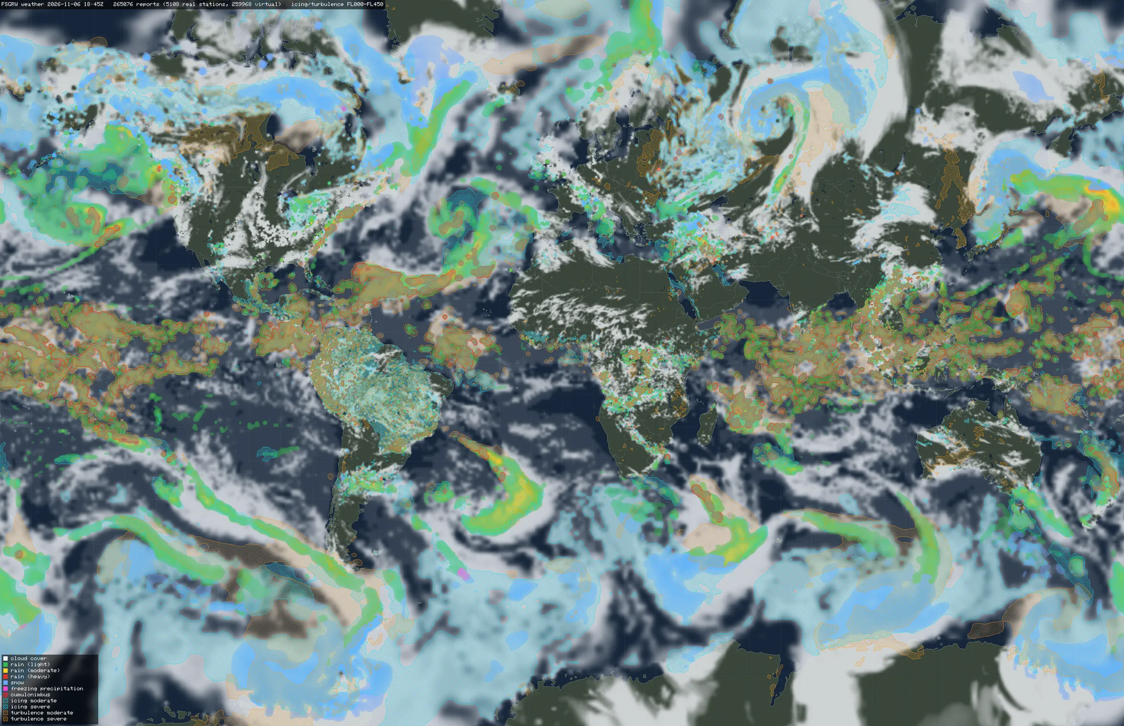
FSGRW builds a global weather snapshot from live observations and model data: a full weather report for about 240,000 stations, from every airport to the open ocean. Your simulator flies through it.
Why FSGRW
Weather that comes from somewhere
Every value in a snapshot has a source. Observations come first; the model fills in only what nobody observed.
Observations first
A value is only calculated from model data when no usable observation provides it. A METAR's cloud base wins over the model's.
Combined value by value
Sources are combined for each value, not for each report. One report can take its cloud amount from a METAR and its winds aloft from the model.
No gaps
Stations cover land, coasts and the open ocean, about every 15 nm over land. Each has a complete report: surface, clouds, precipitation, winds aloft, turbulence and icing.
Products
One weather source, one product per simulator
The snapshot doesn't depend on any one simulator. Each product turns it into its simulator's own weather model. X-Plane 12 is the first; more simulators are planned.